A strong Western Disturbance is increasingly likely to impact Jammu and Kashmir, with confidence levels now nearing 95%, according to Kashmir Weather. Weather models may be underestimating the intensity of the system, which is expected to bring widespread snowfall and rainfall across the region.
The disturbance is set to begin affecting higher reaches of North Kashmir from this afternoon. By nightfall, most parts of Jammu and Kashmir are expected to come under its influence.
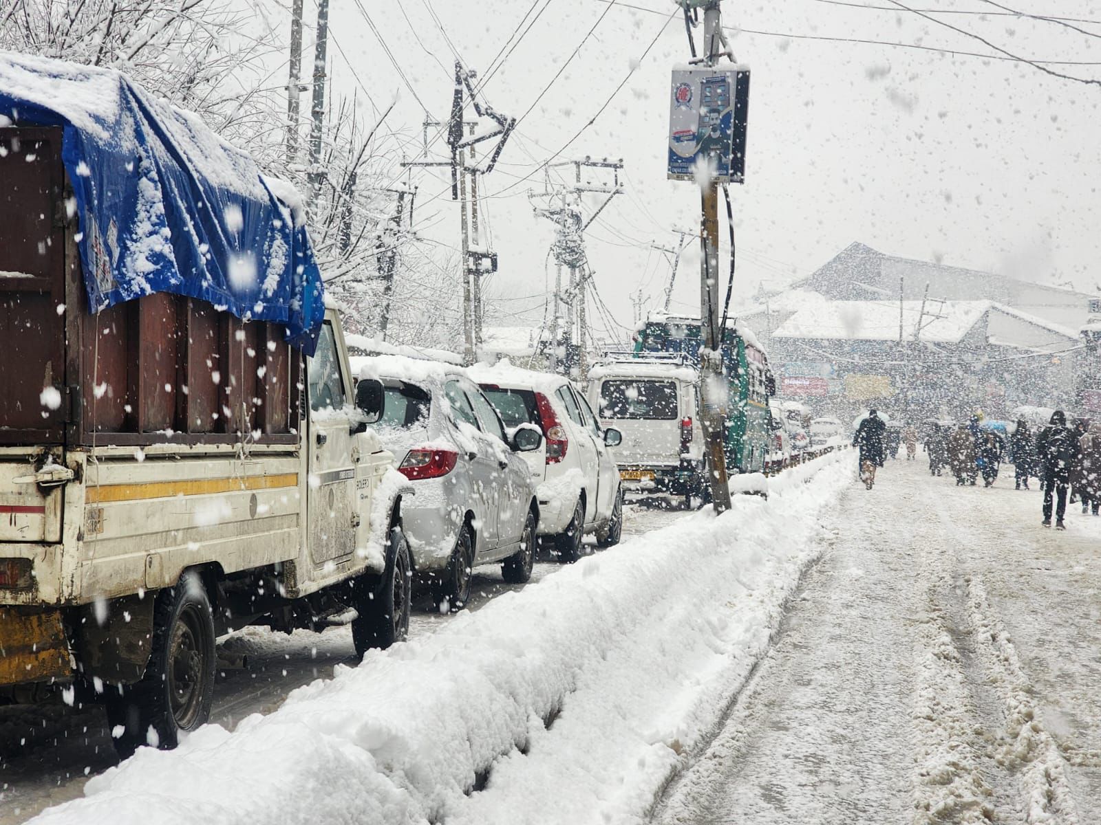
There is a very high probability of widespread snowfall across the Kashmir plains, as well as parts of Poonch, Doda, Kishtwar, Ramban and Kathua. While the system itself is expected to weaken within 24 hours, snowfall rates during this period could be intense due to exceptionally high moisture availability.
The peak impact window is forecast from tonight through late afternoon tomorrow, although rain and snow may persist in some areas until the morning of January 24.
From tonight onward, atmospheric conditions across Jammu and Kashmir are expected to reset, ushering in a cold wave and prolonged cold spell. True winter conditions are likely to prevail through the remainder of the month.
Snow accumulation in the plains will largely depend on snow density. Under dry snow conditions, accumulations could range from 4 inches to as much as 2 feet, with higher totals likely near the Pir Panjal belt, particularly in Shopian district. In the case of wet snow, accumulations may range between 3 inches and 1.5 feet. Higher elevations could receive between 2 and 4 feet of fresh snowfall.
Meanwhile, Jammu plains are likely to experience moderate to heavy rainfall. The system may also be accompanied by strong wind gusts.
Travel disruptions are likely on January 23, with possible impacts on flights, train services and road connectivity across the region.
Comments are closed.