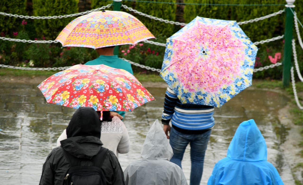
A significant spell of rainfall is expected to impact Jammu and Kashmir over the next 60 hours, with the India Meteorological Department (IMD) and local weather watchers issuing alerts for both regions. Authorities and residents are advised to remain vigilant as weather conditions deteriorate.
The Jammu region is forecast to receive heavy to very heavy rainfall, with occasional short-lived breaks. Rising water levels in rivers and streams are anticipated, and in certain areas, they may breach flood warning thresholds. Low-lying and flood-prone areas have been urged to prepare for possible inundation.
Rain is also expected across the Kashmir Valley, though the overall intensity will be lower compared to Jammu. However, heavy showers are likely over parts of the Pir Panjal mountain range and higher-altitude areas of Kulgam, Shopian, and Anantnag. A noticeable rise in the Jhelum River's water level is also anticipated.
Thunderstorms with gusty winds may occur intermittently across both regions.
Flash floods and cloudbursts cannot be ruled out, especially in mountainous terrain.
Streams and rivers are expected to swell and may overflow in susceptible areas.
Mountain passes, including those on key highways, will remain vulnerable to landslides and shooting stones, potentially disrupting travel and logistics.
Authorities are closely monitoring the situation and may issue further alerts if conditions worsen. Travelers and residents in hilly and low-lying regions are advised to exercise caution and follow local advisories.
Comments are closed.